
Lake Havasu – 45 Miles of Colorado River, One App to Navigate It All
Lake Havasu stretches 45 miles down the Colorado River, from Lake Havasu City to Parker Dam – with hundreds of hidden coves, the famous Bridgewater Channel, and some of the busiest summer boating traffic in the West.
Lake Genius is the boating app built for it. Daily underwater hazard updates, 2,000+ points of interest, GPS route tracking, and full offline maps – so you find the quiet coves, navigate the channel, and know what’s under the water before you anchor.


Start your free trial · No credit card · Works offline
Why Lake Havasu Needs Lake Genius
Lake Havasu’s a destination lake – warm year-round, busy in summer, and big enough that even regulars miss spots. Here’s why the right app matters.

Hidden underwater hazards
Submerged rocks, old townsite debris, and shallow flats around Topock Gorge have wrecked plenty of props and hulls at Havasu. The X-Ray View shows what’s beneath the surface so you steer clear before damage happens.

Cell service drops in the remote stretches
You’ll have signal around Lake Havasu City, but coverage thins out in Topock Gorge to the north and in some of the deeper southern coves. Offline maps mean navigation, POIs, and routes keep working when bars don’t.

It's a busy lake with channel rules
Bridgewater Channel speed limits, London Bridge etiquette, no-wake zones, and a steady summer flow of rental boats. Knowing the layout beats learning it the hard way. Lake Genius maps every marina, ramp, and channel landmark.

Most visitors get one Havasu trip a year
That’s not a lot of time to figure out where to anchor, which coves are worth the run, and how to plan your day. Plan your whole trip from home with Lake Genius before you ever launch.
UNDERWATER TERRAIN
See What's Under the Water at Lake Havasu
The X-Ray View is Lake Genius’s signature feature, and it earns its keep at Lake Havasu. The Colorado River carved this reservoir with uneven depths – deep channels in some places, shallow flats inches under the surface in others.
Zoom into any area of the Lake Havasu map and the app reveals a 3D visualization of the underwater terrain. Rocks, ledges, and hazards within 9 feet of the surface become visible. The shoreline is highlighted in red. And the data updates every night at midnight, so you’re seeing today’s conditions, not last season’s.
No other boating app updates underwater hazards daily for Lake Havasu.
The X-Ray View is included in your free trial
Lake Havasu
Water Level – Updated Daily
Lake Havasu’s water level is managed by Parker Dam and stays relatively steady year-round compared to Powell or Mead – but it still moves. Spring runoff from the upper Colorado, summer drawdown for downstream water rights, and weekly fluctuations from dam operations all shift the shoreline a few feet at a time.
A few feet matters when you’re navigating Topock Gorge or anchoring in a shallow cove. Lake Genius tracks Lake Havasu’s level daily, updating at midnight. Open the app and see today’s reading in feet or meters, with the current shoreline highlighted in red on your map. Use it to check conditions before launching – or to confirm the cove you anchored at last September still has the same approach depth this summer.
Lake Havasu Marinas & Launch Ramps – All Mapped in the App
Lake Havasu’s marinas and launch ramps run the whole length of the lake. Lake Genius maps every one with contact details, services, and navigation – online and off.
Lake Havasu Marina
Located at McCulloch Boulevard on the Arizona shore in Lake Havasu City, offering over 1,000 slips for vessels up to 60 feet, a fuel dock, dry storage, and on-site repairs.
Havasu Riviera Marina
South-end marina on the Arizona side off Havasu Riviera Parkway, with a six-lane public launch ramp, a fuel dock, marina store, and day-use beach.
London Bridge Marina
Set against the London Bridge on the Bridgewater Channel, primarily a slip marina with restaurant and waterfront access. No fuel dock or public launch on site.
Site Six Launch Ramp
Free city-operated three-lane concrete ramp on The Island near the London Bridge, with trailer parking, courtesy dock, and an ADA fishing pier.
Windsor Beach (Lake Havasu State Park)
State-park launch complex north of the Bridgewater Channel with multiple concrete ramps, courtesy docks, day-use beach, and trailer parking. State park entry fee applies.
Havasu Landing Resort & Casino
California-side marina across the lake on the Chemehuevi Reservation, accessible by boat or ferry, with fuel dock, slips, store, lodging, and casino.
All marinas and launch ramps are mapped as points of interest in the Lake Genius app, with details and navigation available offline.
Explore Lake Havasu – Coves, Channels & Hidden Spots
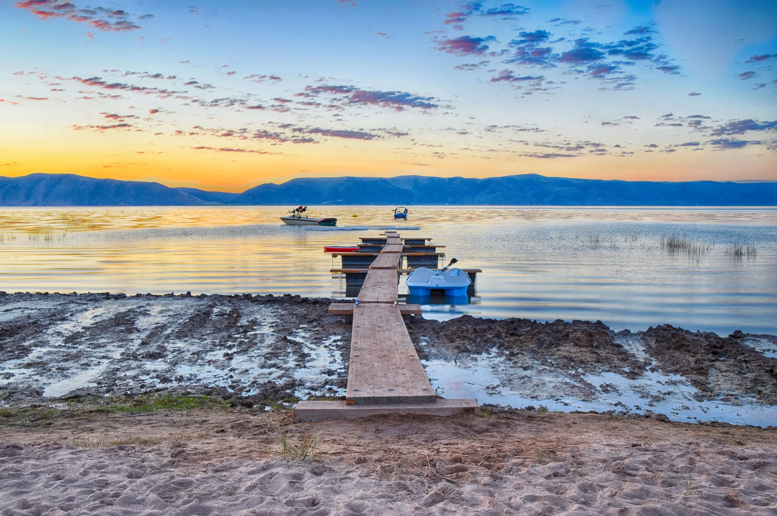
London Bridge gets the headlines, but Lake Havasu is a 45-mile lake with quiet anchorages, hidden coves, and a fishing reputation locals guard. The Lake Genius map shows you what generic boating apps don’t – depth contours, underwater hazards, curated points of interest, and the channels that connect them all.
- London Bridge & the Bridgewater Channel – The lake's signature route, mapped with speed-limit zones and navigation rules.
- Copper Canyon & Steamboat Cove – Two of the most photographed swimming and gathering coves, mapped with anchorage details.
- Topock Gorge – The wild, narrow northern stretch where most rental boats turn around. Lake Genius shows you the channel through.
- Site Six Fishing Pier & nearshore structure – Mapped depth contours help you find striper and bass holding zones.
Save your own favorite spots and they’re there next year, mapped for offline use. Download the Lake Havasu map once and use it offline anywhere – Topock Gorge, the channel, Cattail Cove, or out past Pittsburgh Point.
Plan Your Lake Havasu Trip Before You Leave Home
Most people visit Lake Havasu on a vacation, a weekend run, or a rental day. That’s not a lot of time to scout. Open Lake Genius at home and you can browse the full Lake Havasu map, check points of interest, mark the coves you want to anchor at, and build a route. When you launch at Site Six, Windsor Beach, or Havasu Riviera, your plan is already on your phone – and it works offline once you’ve downloaded the map.
Lake Havasu Weather – One Tap Away
Summer wind funnels through Havasu fast, and afternoon storms can stack up over the Mohave Mountains with little warning. Lake Genius gives you one-tap access to NOAA weather data for any point on the lake. Check conditions before you launch, or pull up a forecast for the cove you’re heading to. Weather checks require cellular service.
Works Offline – From the Channel to Topock
Lake Havasu has decent cell coverage near the city, but signal drops in Topock Gorge to the north and in some of the deeper southern coves. Lake Genius works completely offline once you’ve downloaded the Lake Havasu map – at home, at the hotel, or at the marina while you still have Wi-Fi. The X-Ray View, all 2,000+ points of interest, GPS tracking, saved routes, and photo markers all work without a signal. Weather and water-level updates need internet, so check those before you launch.
TESTIMONIALS
What Lake Genius Users Are Saying
Very useful app
We’ve taken several family houseboat trips to the lake in years past. We normally relied on maps. I was happy to find an affordable electronic option when I learned of Lake Genius, so downloaded it and subscribed prior to our trip in mid-October 2025. Looking at the app at home I was impressed with the amount of detail concerning elevations and landmarks. In use on the lake, I had a hard time finding a zoom level that would show me both buoy locations and enough elevation / depth information to be useful while underway, but recent updates have fixed that. We found the app very useful overall and a great value.
— DonJ60
- Apple App Store, Jan 2
TESTIMONIAL PLACEHOLDER #1
A testimonial focused on hazard avoidance or money saved u2014 someone who spotted a hazard before it became a problem. Connects to the X-Ray View and water levels features. Should convey u201cthis paid for itself immediately.u201d
u2014 Steve
- Bear Lake
TESTIMONIAL PLACEHOLDER #1
A testimonial about offline reliability or trip planning from home u2014 especially relevant for families or houseboat renters. Should convey u201cI was confident even in areas with no cell serviceu201d or u201cwe planned the whole trip before we left.u201d
u2014 Gabrielle
- Lake Powell
TESTIMONIALS
What Lake Genius Users Are Saying
Very useful app
We’ve taken several family houseboat trips to the lake in years past. We normally relied on maps. I was happy to find an affordable electronic option when I learned of Lake Genius, so downloaded it and subscribed prior to our trip in mid-October 2025. Looking at the app at home I was impressed with the amount of detail concerning elevations and landmarks. In use on the lake, I had a hard time finding a zoom level that would show me both buoy locations and enough elevation / depth information to be useful while underway, but recent updates have fixed that. We found the app very useful overall and a great value.
— DonJ60
- Apple App Store, Jan 2
Frequently Asked Questions
What app do I need for Lake Havasu?
What app do I need for Lake Havasu?
Lake Genius is the boating app built for Lake Havasu. It includes daily underwater hazard updates (the X-Ray View), water level tracking, 2,000+ curated points of interest, GPS navigation, trip planning, and full offline functionality.
Does Lake Genius work offline at Lake Havasu?
Does Lake Genius work offline at Lake Havasu?
Yes. Download the Lake Havasu map before your trip and every core feature works offline – the X-Ray View, points of interest, GPS tracking, and saved routes. Weather and water level updates require internet, so check those before launch.
How do I check Lake Havasu water levels?
How do I check Lake Havasu water levels?
Lake Genius tracks Lake Havasu’s water level daily, updating at midnight. Open the app and you’ll see today’s reading in feet or meters, with the current shoreline highlighted in red on your map. Use it to plan your trip or check conditions before launching.
What marinas are at Lake Havasu?
What marinas are at Lake Havasu?
Lake Genius maps every major Lake Havasu marina and launch ramp – including Lake Havasu Marina, Havasu Riviera Marina, London Bridge Marina, Site Six Launch Ramp, Windsor Beach at Lake Havasu State Park, and Havasu Landing on the California side.
Is there a Lake Havasu map I can download for offline use?
Is there a Lake Havasu map I can download for offline use?
Yes. Lake Genius lets you download the full Lake Havasu map – depth contours, underwater hazards, marinas, coves, and 2,000+ points of interest – to your phone for offline use. Once downloaded, the map and all core features work without cell service.
What's the best way to find quiet coves at Lake Havasu?
What's the best way to find quiet coves at Lake Havasu?
Lake Havasu has dozens of coves, beaches, and anchorages mapped in Lake Genius. Use the points-of-interest layer to browse curated spots, save your own favorites, and check depth contours before you anchor so you know which coves stay shallow and which drop off.
Can I plan my Lake Havasu trip from home?
Can I plan my Lake Havasu trip from home?
Yes. Open Lake Genius at home, browse the Lake Havasu map, check points of interest, mark spots, and build a route. When you launch at Site Six, Windsor Beach, or Havasu Riviera, your plan is ready and works offline.
How much does Lake Genius cost for Lake Havasu?
How much does Lake Genius cost for Lake Havasu?
$19.99 per year covers every lake covered by Lake Genius, with every feature included. You can try the full app free with a 2-hour trial, no credit card required.
Explore Lake Havasu With Confidence
45 miles of Colorado River. A century of Bridgewater Channel boating history. Hundreds of coves to find. Lake Havasu rewards the prepared – and Lake Genius makes sure you are. Download the app, plan from home, and see what’s under the water before your next trip.
Start your free trial · No credit card · Works offline · $19.99/year